- (0)
- You have no items in your shopping cart.
Morrison Jeep Trail - WY
Morrison Jeep Trail, a backcountry ride in Wyoming
Located in Park County, in the U.S. state of Wyoming, the Morrison Jeep Trail is a very rough drive. The route demands 100% concentration. This road has humbled many egos. It’s not for the sissies and shouldn’t be attempted by novice drivers. It's a challenging ride because of the combination of altitude and terrain. It is not for the timid or people in poor condition.
This road tests the skill, and courage, of any driver. It’s definitely not for anyone suffering from vertigo or a fear of landslides. There are lots of single-track trails cutting off from the main route, but make sure you have a map and know where you're going before wandering off too far. The trail wanders twenty-some miles across the Beartooth Plateau, one of the most remote places of the state.
Located within the Shoshone National Forest, the primitive road is 22 miles long. It’s in dreadful condition and requires strong nerves to negotiate it. It’s certainly breathtaking and it has a fearsome reputation. The trail starts somewhere around 4500 feet and climbs up to 3.107m (10,193ft) above the sea level. Recommended for experienced ATV users only. This is a jeep trail that goes from the top of the Beartooth mountain range down to the valley below if you go all the way.
Expect a single lane road with no turnouts, with very steep grade and tight switchback turns. It still remains an adrenaline-pumping journey and is definitely not for the faint of lungs, heart, or legs. The road, (Forest Road 120), is known for its 27 tight switchbacks that make up the ascent from the Clarks Fork River to the top of Beartooth Plateau. The turns are really bad, narrow and steep. The switchbacks are even steeper than they look.
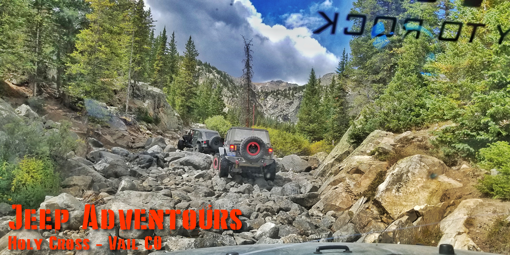
This trail passes through remote areas, so you need to be prepared. Moose, bear (both black and grizzly), mountain goats and bobcats inhabit the area. Words can’t describe the road and pictures don’t do it justice. Avoid driving in this area if unpaved mountain roads aren't your strong point. There are a couple very technical and rocky climbs and a handful of grinders that are long and straight but this is where you cross the 10,000 foot mark so the oxygen is limited. Words can't describe the awe-inspiring beauty of this rugged landscape. Only 4x4 with high clearance. If you dare to take the risk and travel along this dusty and bumpy route, then make sure to be driven by someone who has experience of the road, unless you are fairly fit and experienced as this trail can eat equipment and people if you aren't careful in areas (not to mention, you can't get cell phone reception in case of emergency). The trail is usually closed from October to June due the snow.


